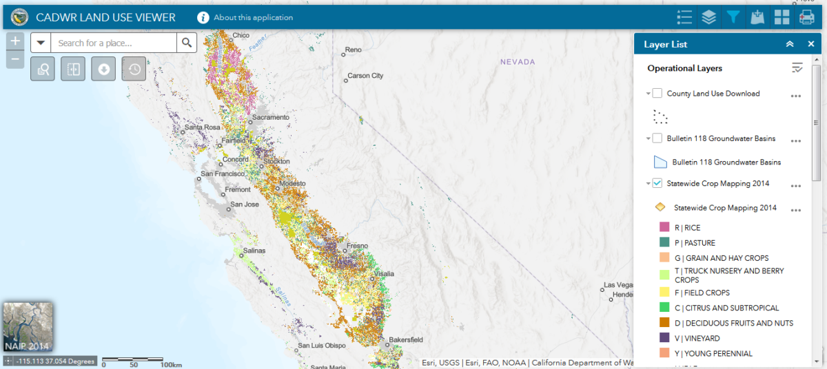
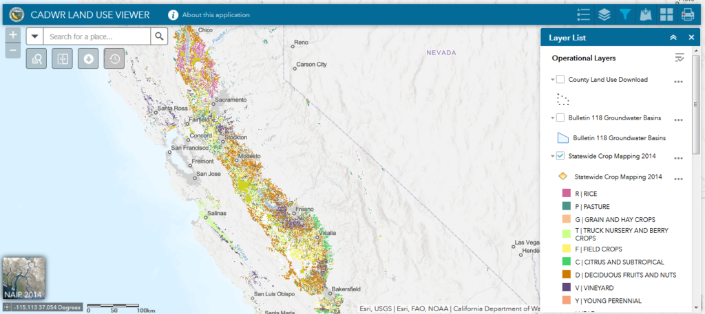
This mapping tool allows you to view and download both statewide and existing county land use datasets from the mid 1980s up to as recent as 2014. The application also enables you to filter crop specific information and visualize land use change over time.
Go to ToolLand Use Viewer


