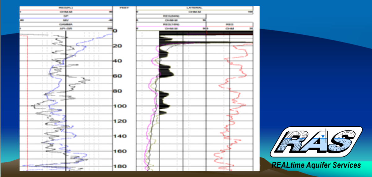
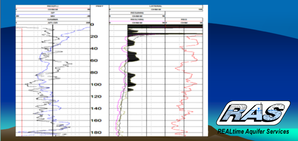
Geophysical logs with electrical resistivity profiles are available in an area including the broader Central Valley. When a new well is drilled, logs are acquired to identify water bearing locations and geologic parameters. We have logs from approximately 30,000 wells which have been drilled over periods of drought and flood. Reviewing these logs can potentially help evaluate larger aquifer parameters. Some wells also have hydrophysical logs, which indicate the specific flow at different depths in a particular well. Logs can also indicate saltwater intrusion and other water quality.
Go to ToolGeophysical and Hydrophysical Logs and Data Base


