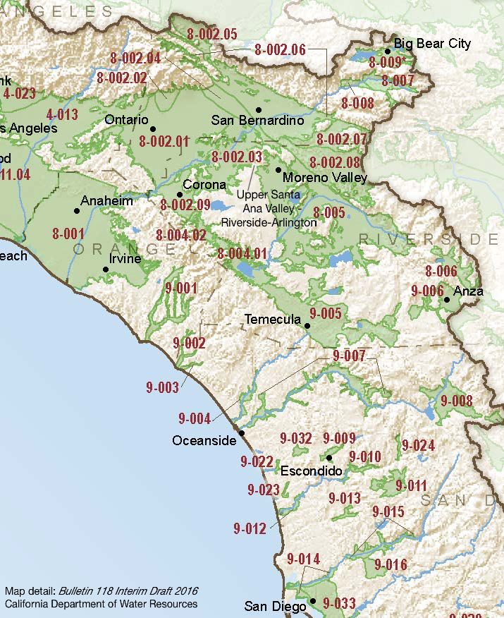
Upper Santa Ana Valley – Riverside-Arlington
Statistics
- Basin Name
- Upper Santa Ana Valley – Riverside-Arlington
- Basin Number
- 8-002.03
- SGMA Basin Priority
- Very Low
- Critically Overdrafted
- No
- Hydrologic Region Name
- South Coast
- Counties
- Riverside, San Bernardino
At-A-Glance
Located in California’s South Coast hydrologic region, the Upper Santa Ana Valley – Riverside-Arlington subbasin is 56,563 acres. This Very Low priority basin is home to an estimated 337,000 people (2010 value). It has approximately 685 wells, of which approximately 38 are water supply wells. Groundwater accounts for approximately 76.92 percent of the basin’s water supply.

Basin Notes
65.80% adjudicated basin. Western-San Bernardino Watermaster reports.
2003: Bulletin 118 basin description
2014: CASGEM basin prioritization – high. Comment: Water quality degradation issues known in several public supply wells.
2016: Basin boundary modified along with boundaries of Yucaipa 8-002.07, Bunker Hill 8-002.06, Rialto-Colton 8-002.04 subbasins to align with adjudicated areas
Revised basin boundary description
2018: Draft basin priority – High. Comment: 1) CASGEM/WDL/GWIDS: Longterm hydrographs show groundwater level decline. Source: DWR 2) Hydrographs of water levels at 3 selected wells, shown on Figures 2.7 and 2.8, demonstrate water level changes over time through different hydrologic conditions. Generally, these hydrographs show increasing water levels starting around 1960 and stabilizing or declining somewhat after the 1980s. Source: Arlington Basin Groundwater Management Plan, 2011 References: Santa Ana Watershed Project Authority
2018: Final Basin Prioritization: Very Low.
