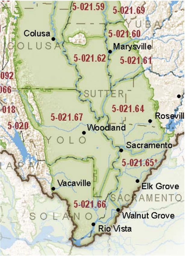
Sacramento Valley – Yolo
Statistics
- Basin Name
- Sacramento Valley – Yolo
- Basin Number
- 5-021.67
- SGMA Basin Priority
- High
- Critically Overdrafted
- No
- Hydrologic Region Name
- Sacramento River
- Counties
- Solano, Yolo
At-A-Glance
Located in California’s Sacramento River hydrologic region, the Sacramento Valley – Yolo subbasin is 540,693.50 acres in size. This High priority basin is home to an estimated 200,219 people (2010 value). It has approximately 6899 wells, of which approximately 189 are water supply wells. Groundwater accounts for approximately 39 percent of the basin’s water supply.

Basin Notes
2003: Bulletin 118 basin description
2014: CASGEM basin prioritization – high. Comment: Localized TDS problems preclude using GW for some M&I uses without treatment. Some subsidence in northeast of Davis and in northern Yolo. GW Use based on Yolo County, California’s Water Supply System: Conjunctive Use Without Management, UC Davis, 1992
2016: Basin boundary modification with Colusa 5-021.52, Capay 5-021.68, and Solano 5-021.66 subbasins
Revised basin boundary description
2018: Draft basin prioritization – high. Groundwater levels and subsidence comments:
- 1) CASGEM/WDL/GWIDS: Longterm hydrographs show groundwater level decline. Source: DWR 2) The areas of continuing overdraft in the County cover most of the Lower Cache-Putah and western Colusa sub-basins. To some extent improvements from reduced pumping have occurred in the DWD area of Colusa sub-basin. Particular overdraft spots include the Yolo-Woodland area on both sides of Cache Creek, areas between Zamora and Yolo, and areas to the northeast of Davis. These areas coincide with places where subsidence and/or deteriorating groundwater quality have been measured. Source: Yolo County, California’s Water Supply System: Conjunctive Use without Management, UC Davis, 1992
- 1) Zamora Land Subsidence Extensometer (11N01E24Q008M), Conaway Extensometer (09N03E08C004M), DWR Water Data Resources; JPL/ NASA Caltech report 2015-16
Groundwater-related transfer “Type A” in which local groundwater is pumped to compensate for water exports.
2019: Basin boundary modification. Phase 2 draft priority: high
2022: January 28 – Groundwater Sustainability Plan submitted to Department of Water Resources (DWR)
2023: October 26 – GSP approved by DWR
