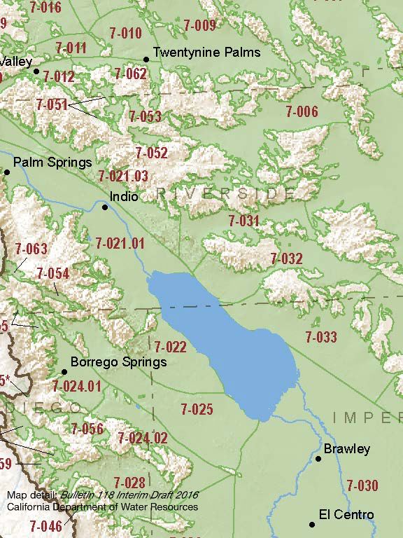
Borrego Valley – Borrego Springs
Statistics
- Basin Name
- Borrego Valley – Borrego Springs
- Basin Number
- 7-024.01
- SGMA Basin Priority
- High
- Critically Overdrafted
- Yes
- Hydrologic Region Name
- Colorado River
- Counties
- Imperial, San Diego
- Adjacent Basins
At-A-Glance
Located in California’s Colorado River hydrologic region, the Borrego Valley – Borrego Springs subbasin is 62,749 acres in size. This High priority basin is home to an estimated 3,463 people (2010 value). It has approximately 230 wells, of which approximately 14 are public supply wells. Groundwater accounts for approximately all of the basin’s water supply.

Basin Notes
2003: Bulletin 118 basin description
2014: CASGEM basin prioritization – medium. Comments: Overdraft conditions over 60 years. Some wells have been abandoned or destroyed due to high nitrates. Most demand for basin is concentrated in north in a small area
2016: Basin boundary modification divided Borrego Valley into two subbasins, Borrego Springs (7-024.01) and Ocotillo Wells (7-024.02). Per Bulletin 118 Interim Update 2016: the Borrego Springs Subbasin is subject to critical conditions of overdraft; the Ocotillo Wells Subbasin is not.
Revised basin boundary description
2018: Draft priority – high. Comment – CRITICAL OVERDRAFT. Water level measurements by the USGS, DWR, the County of San Diego, and BWD indicate that groundwater levels continue to decline locally on the order of one to three feet per year. Source: Borrego Water District
2019: County of San Diego withdraws as GSA.
2020: July 20 – Groundwater adjudication action begun
2021: April 4 – Judgment in adjudication. Basin managed by water master to aim for 50% rampdown of pumping by water year 2029/2030.
