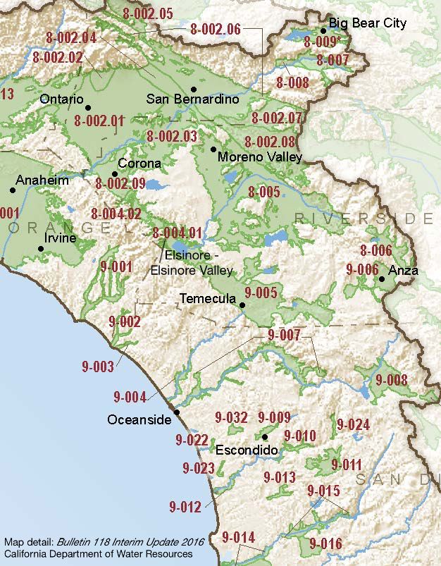
Elsinore – Elsinore Valley
Statistics
- Basin Name
- Elsinore – Elsinore Valley
- Basin Number
- 8-004.01
- SGMA Basin Priority
- Medium
- Critically Overdrafted
- No
- Hydrologic Region Name
- South Coast
- Counties
- Riverside
- Adjacent Basins
At-A-Glance
Located in California’s South Coast hydrologic region, the Elsinore – Elsinore Valley is 23,601 acres in size. This Medium priority basin is home to an estimated 61,419 people (2010 value). It has approximately 318 wells, of which approximately 17 are water supply wells. Groundwater accounts for approximately 23.66 percent of the basin’s water supply.

Basin Notes
2003: Bulletin 118 basin description
2016: Basin boundary modification removed the Bedford-Coldwater area from the Elsinore Basin and create the new Bedford-Coldwater Basin (8-004.02). Altered border with Upper Santa Ana Valley – Temescal (8-002.09 subbasin.
2018: Draft basin priority – medium. Comments:
- Groundwater level – The Elsinore Basin may be in a state of overdraft (about 4,400 acre-ft/yr. Source: Elsinore Valley Municipal Water District
- Subsidence – 1) Evidence for GW pumping that induced fissures was that several new wells began pumping in the days and weeks before subsidence was noted, and that since pumping stopped the fissures have not increased in number or size Source: USGS Land subsidence interactive tool Two areas of subsidence: 1) Wolf Valley area fissures advanced 7 miles northward (Earth Consultants, 2000) — fissures primarily controlled by faults (Shlemon & Hakakian, 1992) but other researchers believe that the fissures formed when increased GW pumping caused inelastic compaction and subsidence (Shlemon and Davis, 1992). 2) Fissures in Murrieta California Oaks subdivision caused by hydrocompaction upon wetting, not due to GW extraction. Source: Areas of Land Subsidence in California, USGS
Final Basin Prioritization: Basin priority changed from high to medium priority.
2022: January 26 – Groundwater Sustainability Plan (GSP) submitted to the Department of Water Resources (DWR)
2023: GSP approved by DWR
