Sacramento Valley – North American
Statistics
- Basin Name
- Sacramento Valley – North American
- Basin Number
- 5-021.64
- SGMA Basin Priority
- High
- Critically Overdrafted
- No
- Hydrologic Region Name
- Sacramento River
- Counties
- Placer, Sacramento, Sutter
At-A-Glance
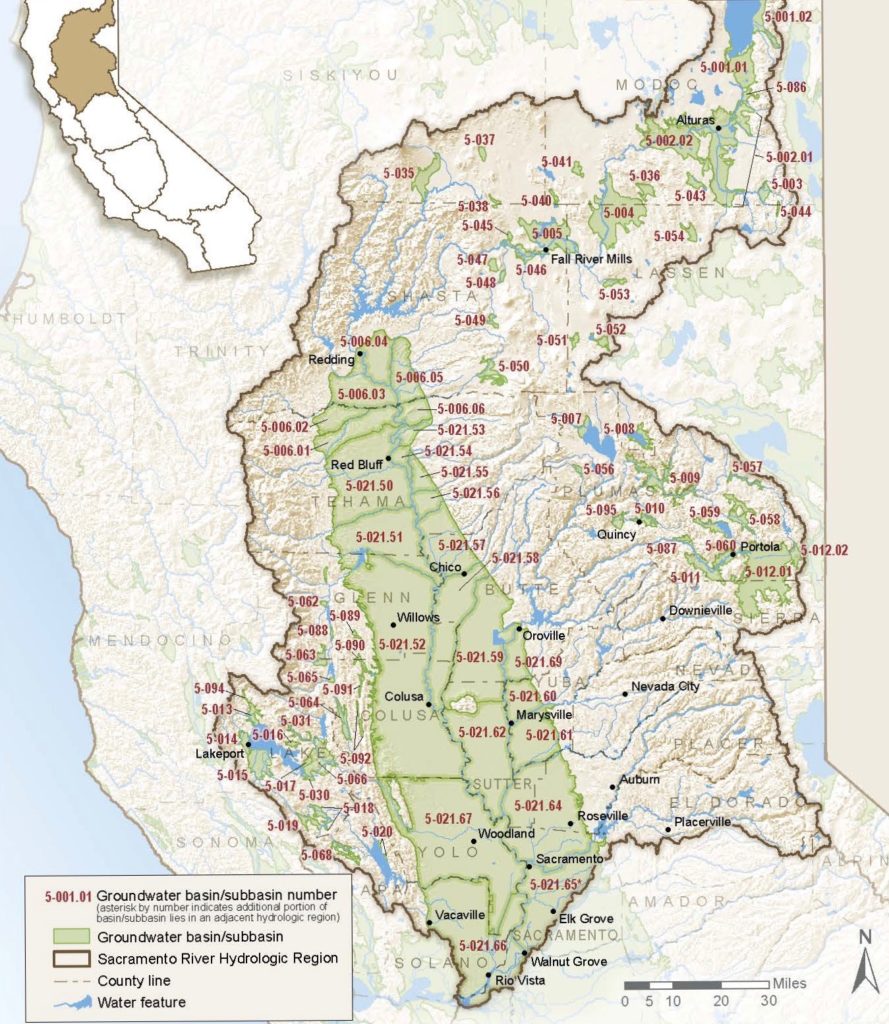
Located in California’s Sacramento River hydrologic region, the Sacramento Valley – North American subbasin is 342,241.43 acres in size. This High priority basin is home to an estimated 831,374 people (2010 value). It has approximately 3764 wells, of which approximately 294 are water supply wells. Groundwater accounts for approximately 42 percent of the basin’s water supply.

Basin Notes
2003: Bulletin 118 basin description
2014: CASGEM basin prioritization – high. Comments: From B118: Elevated levels of TDS, chloride, sodium, bicarbonate, boron, fluoride, nitrate, iron manganese, and arsenic may be of concern in some locations (DWR 1997). There are 3 sites with significant GW contamination in the basin. From B118: GW levels in SW Placer County and northern Sacramento County have generally declined with many wells declining at a rate of about one and one‐half feet per year for the last 40 years or more (PCWA 1999).
2016: Basin boundary modification with South Yuba 5-021.64
2016: revised basin boundary description
2018: Draft basin priority – high. 1) CASGEM/WDL/GWIDS: Longterm hydrographs show groundwater level decline. Source: DWR 2) Hydrographs in the Western Placer County Sustainable Yield Report 2013, show groundwater level decline. High rating due to water exports. Per 2018 draft basin prioritization: Groundwater-related transfer “Type A” in which local groundwater is pumped to allow for inter-basin diversion of surface water. Jurisdictional basin boundary modification request by Yuba County Water Agency pending
2019: Basin boundary modification approved. Phase 2 draft basin priority remained high.
2022: January 24 – Groundwater Sustainability Plan (GSP) submitted to Department of Water Resources (DWR)
2023: GSP approved by DWR
