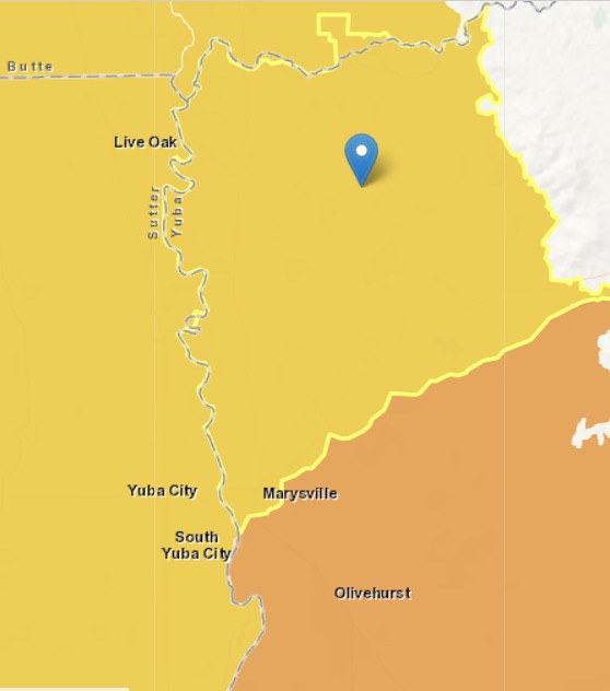
Sacramento Valley – North Yuba
Statistics
- Basin Name
- Sacramento Valley – North Yuba
- Basin Number
- 5-021.60
- SGMA Basin Priority
- Medium
- Critically Overdrafted
- No
- Hydrologic Region Name
- Sacramento River
- Counties
- Butte, Yuba
At-A-Glance
Located in California’s Sacramento River hydrologic region, the Sacramento Valley – North Yuba subbasin is 60,838.08 acres in size. This Medium priority basin is home to an estimated 14,797 people (2010 value). It has approximately 866 wells, of which approximately 18 are water supply wells. Groundwater accounts for approximately 42 percent of the basin’s water supply.

Basin Notes
2003: Bulletin 118 basin description
2014: CASGEM basin prioritization – medium. Comment: Strong surface water-groundwater interaction with Feather and Yuba River. GW Use based on B118‐03 and 2005 Butte County Inventory data.
2016: Basin boundary modification
Revised basin boundary description
2018: Draft basin priority – high. Groundwater level comments: CASGEM/WDL/GWIDS Stable hydrographs. Source: DWR 2) Began using surface water in 1981 to mitigate previous declining groundwater levels; gwls have now recovered. Partly in response to this water table decline, the Yuba County Water Agency began to provide Yuba River water to Brophy Water District and South Yuba Water District in 1983. Monitoring indicates groundwater levels have recovered since the early 1980s. Currently both the Yuba North Subbasin and the Yuba South Subbasin are in good health. Source: Yuba County Water Supply Assessment, Magnolia Ranch DEIR, 2015 Basin priority set high because of out-of-basin water transfers. Per 2018 draft basin prioritization: Groundwater-related transfer “Type A” in which local groundwater is pumped to allow for diversion of surface water.
December 27, 2018: Joint Groundwater Sustainability Plan adopted with South Yuba
2019: Basin boundary modification. Per DWR: “The first portion of the basin boundary modification is an external scientific revision to the eastern boundary of the North Yuba subbasin. The boundary utilizes a qualified map and follows geologic contacts of alluvial deposits and consolidated rocks of the Sierra Nevada. The second portion of the modification consists of two internal jurisdictional revisions. This first modifies the boundary between the South Yuba, North American, and Sutter subbasins to align with the Yuba County line and include Dry Creek Mutual Water Company’s jurisdictional boundary within the South Yuba subbasin. The second modifies the boundary between the North Yuba and Wyandotte Creek subbasins to follow and include the jurisdictional boundary of the Ramirez Water District within the North Yuba subbasin.” Draft phase 2 priority revised from former status of high to new one of medium.
2020: January 31 – GSP submitted to the Department of Water Resources
2021: November 18 — GSP approved by DWR
