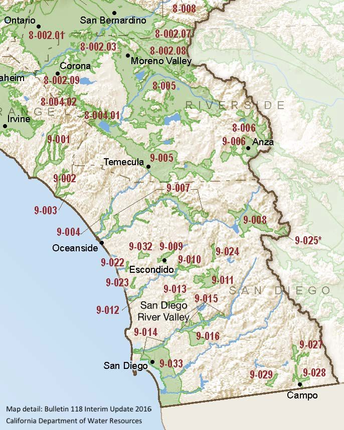
San Diego River Valley
Statistics
- Basin Name
- San Diego River Valley
- Basin Number
- 9-015
- SGMA Basin Priority
- Very Low
- Critically Overdrafted
- No
- Hydrologic Region Name
- South Coast
- Counties
- San Diego
- Adjacent Basins
At-A-Glance
Located in California’s South Coast hydrologic region, the San Diego River Valley is 9,873.37 acres in size. This Very Low priority basin is home to an estimated 40,629 people (2010 value). It has approximately 91 wells, of which approximately 5 are water supply wells. Groundwater accounts for approximately 4 percent of the basin’s water supply.

Basin Notes
2004: Bulletin 118 basin description
2014: CASGEM basin prioritization – medium. Comments: High nitrates, iron and manganese treatment is required. High TDS ( >3,000 mg/l) in western portion of basin
2018: Draft basin priority – very low. Comments: no documentation available on groundwater levels/declines. Salt intrusion –
- 1) The groundwater is characterized with moderate to high levels of salinity. A recent study by USGS evaluated the sources and movement of saline groundwater in these groundwater basins (USGS 2013b). The chloride concentrations ranged from 57 to 39,400 mg/L. The sources of salinity were natural geologic sources and sea water intrusion. Source: Chapter 7, EIS, Coordinated Long-Term Operation of the Central Valley Project and State Water Project, U.S. Bureau of Reclamation
2019: Basin boundary modification. Per DWR: It “follows geologic contacts on a 1:100,000 scale qualified map, which is a more detailed mapping scale than the 1:250,000 scale maps used in 2016. Colluvium deposits are excluded from the upper reaches of the proposed basin. These deposits are thin, dry layers above non-permeable, consolidated deposits.” Phase 2 draft priority: Very Low
