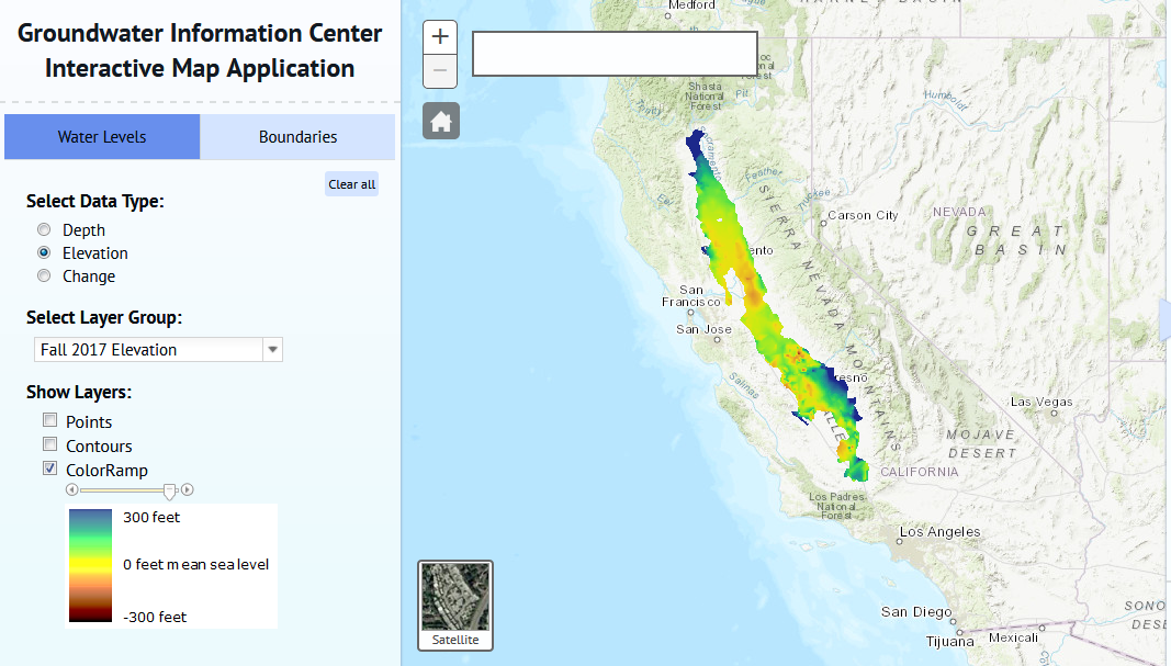
This mapping tool allows you to view and download groundwater depth information and download as GIS shapefiles or GeoTIFF raster files.
Go to ToolGroundwater Information Center Interactive Map


This mapping tool allows you to view and download groundwater depth information and download as GIS shapefiles or GeoTIFF raster files.
Go to Tool