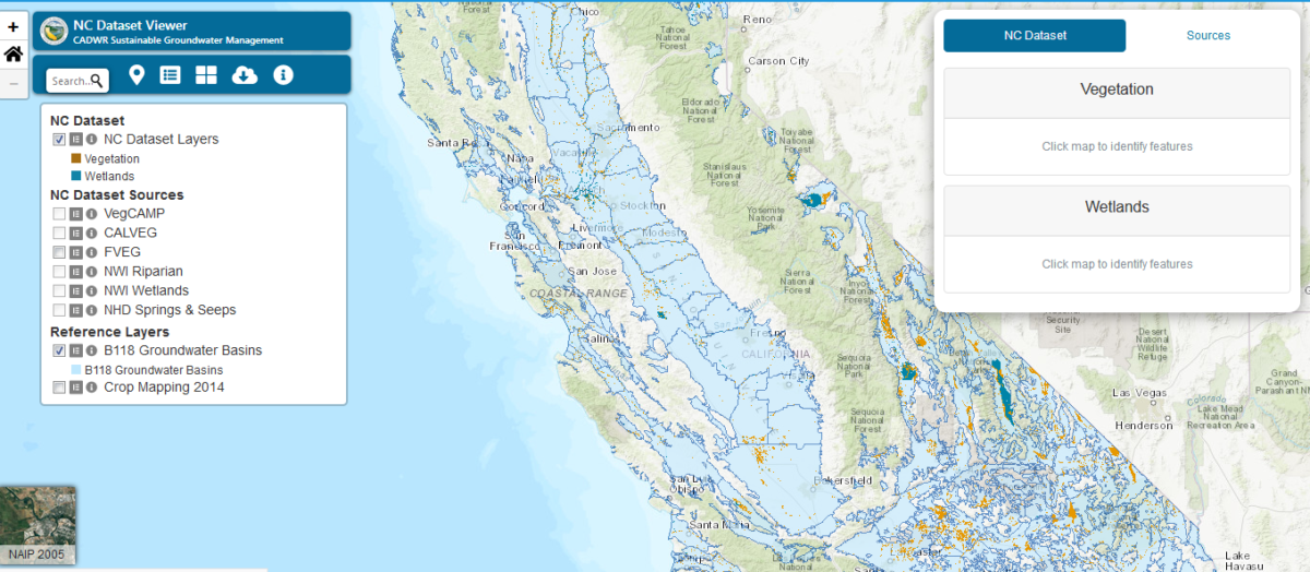
This mapping tool allows viewing and download of Vegetation and Wetland layers contained in the Natural Communities Commonly Associated with Groundwater (NCCAG) dataset.
Go to ToolNatural Communities Commonly Associated w/Groundwater


This mapping tool allows viewing and download of Vegetation and Wetland layers contained in the Natural Communities Commonly Associated with Groundwater (NCCAG) dataset.
Go to Tool