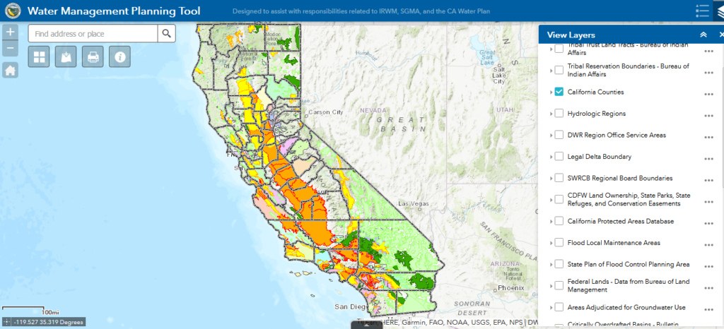
This interactive map application allows you to overlay numerous GIS layers onto a map, such as groundwater basins, hydrologic regions, political boundaries, state and federal lands, flood control, and watershed boundaries.
Go to ToolWater Management Planning Tool


